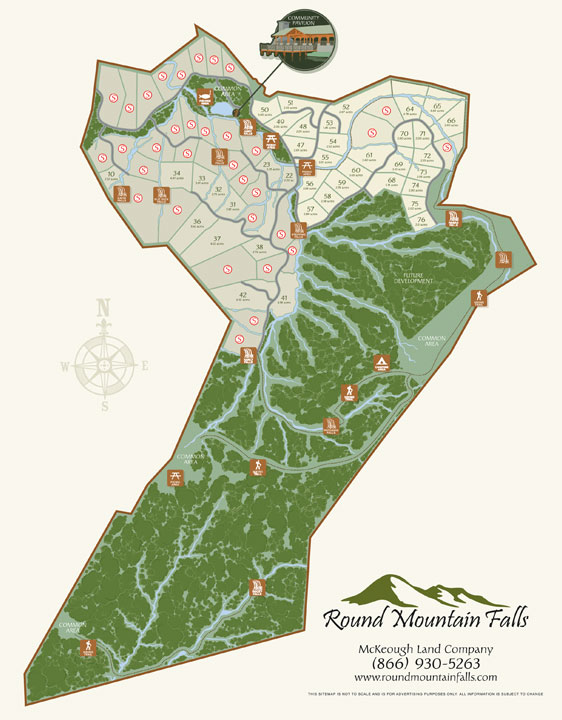
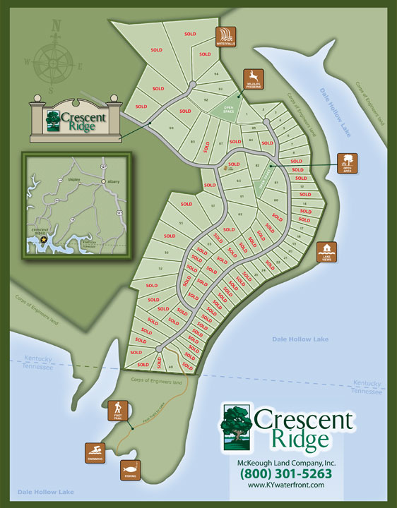
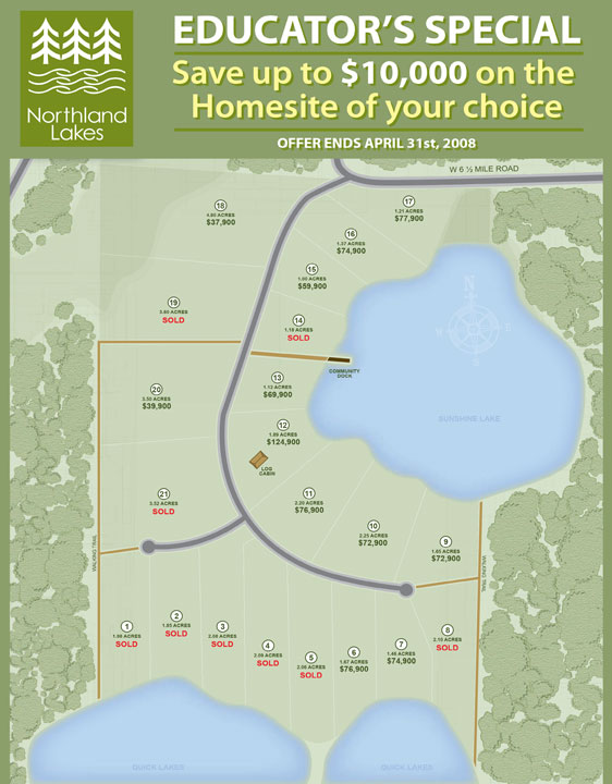
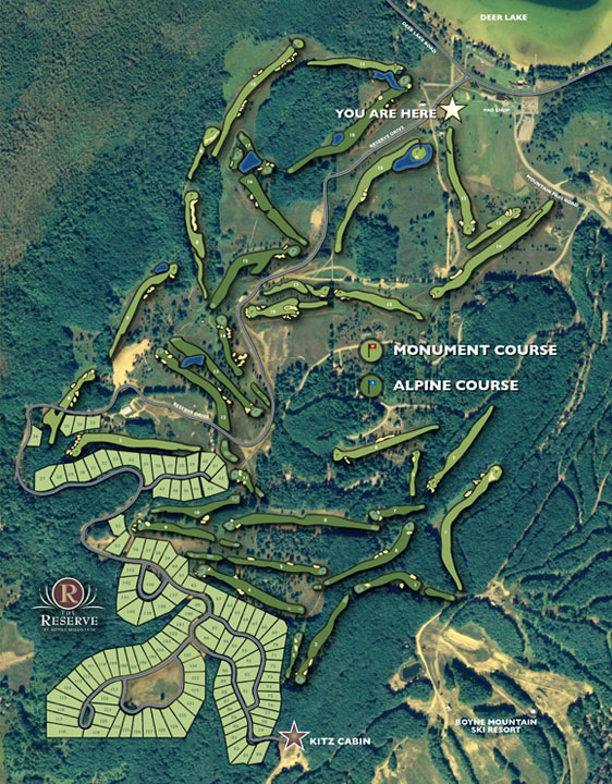

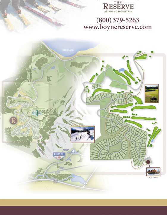

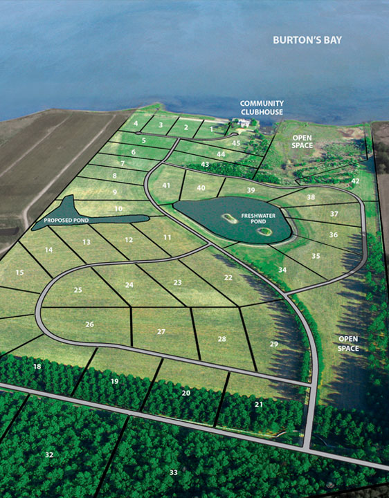
MAP ILLUSTRATION
Years ago, I took a part-time job in a real estate development companies’ art department. My talents and expertise in using the Adobe Illustrator software allowed me to create accurate, clean looking property maps for the properties. I quickly pushed the creative boundaries in map making by turning my vector based maps into online interactive property tour maps. You could take a virtual tour just by clicking on an individual on site lot. It would be programmed to pull up all of our photos, pricing, and lot details. Unfortunately, the real estate bubble burst and the Land Development company folded.

